
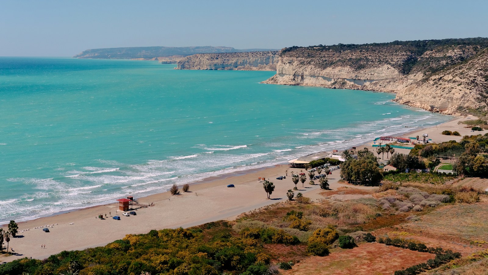
Drone video production gives viewers a perspective they cannot get from a room or street-level shot. For properties, destinations and brands in Cyprus, aerial footage can explain the setting, the scale and the relationship between places. It works best when each shot answers a question within a wider film.
Use the aerial view to explain something specific
Ask what the viewer needs to understand. A developer may want to show how several buildings relate to one another. A hotel may need to connect its grounds with the surrounding landscape. A brand film may use an establishing view to introduce the place where a company works.
Choose the shot around that purpose. A wide view provides context; a closer approach can introduce the building; a measured reveal can connect ground-level activity to the wider setting. A collection of impressive aerials still needs a coherent sequence and a clear relationship to the subject.
Connect aerial footage with the experience on the ground
A property film should help viewers move from the location to the building and into the spaces. Follow the aerial context with ground-level views, interiors and relevant details. This gives the audience a route through the place rather than leaving the aerial as an unrelated opening.
For hospitality content, connect the overview to the guest experience: arrival, shared spaces, rooms and activities included in the brief. For an event, use an aerial only where it contributes to the story and the proposed operation is feasible. Essential event coverage still needs its own ground-level plan.
Multians offers drone filming in Cyprus as edited footage or as part of a wider production. Discuss how it will connect with the property film, brand story or campaign rather than specifying it as a disconnected extra.
Prepare exact locations before confirming the shot list
Share location pins, proposed dates, site contacts and the areas you hope to show. Explain the intended angles and the role each one plays in the final film. Ground access, nearby activity, weather and flight feasibility influence the plan.
Cyprus’ Department of Civil Aviation publishes geographical zone guidance and an official map for checking areas with restrictions or prohibitions. The relevant location and operational requirements need to be reviewed before aerial coverage is confirmed. A visually suitable location does not by itself establish that the planned flight can proceed.
Keep the brief flexible enough to accommodate the result of that review. Agree alternative ground-level coverage where it can communicate the essential setting if aerial filming needs to change.
Plan light, activity and continuity
Aerial and ground footage should feel like parts of the same place and story. Think about how the direction of light, weather and site activity will affect the sequence. A bright exterior cut directly against a very different interior mood can need careful editorial treatment.
Identify what should be present in the shot and what could distract from it. For a development, explain the construction stage and the areas available for filming. For an operating venue, coordinate the production with the person responsible for the site. Avoid making the filming plan depend on a single fleeting moment without discussing alternatives.
Keep location information accurate
Aerial footage can make proximity feel intuitive, but it does not automatically explain distance or access. Use approved maps and verified labels where they help. If a film states journey times or distances, agree the source and context before adding them to graphics or narration.
For an off-plan development, distinguish the actual filmed site from proposed features and architectural visualisations. If boundaries or areas are highlighted, have the client approve the relevant information. Our off-plan property video guide explains how to combine planned and completed material clearly.
Agree what you need after the flight
A request for aerial footage can mean several different deliverables. Confirm which of these the project needs:
- Selected clips: agreed material for your agency or in-house editor.
- An edited aerial sequence: a finished piece with an agreed structure and treatment.
- Integration into a main film: aerials connected to interiors, people and supporting scenes.
- Social versions: compositions and edits suited to the intended placements.
- Supporting graphics: approved labels, maps or other explanatory elements where included.
Clarify delivery resolution, orientation, colour treatment, graphics, music and the number of final versions. A landscape aerial may need a different composition to work as a vertical clip, so identify those uses in the brief.
Make drone filming part of a complete production
Aerial footage is one element of a broader visual language. Multians brings filming, photography, interviews, short-form content, editing, colour and sound around the production brief. This lets the project use the viewpoint that best explains each part of the story.
Explore the Multians portfolio and share your filming locations and objectives with the team. For a property campaign, the real estate content plan guide shows how aerial material can work alongside tours, photographs and social stories.
Cover photograph: Yu Ko / Unsplash. Illustrative stock image.